


How to Choose a GPS Watch for Hiking and Trail Running in Oman

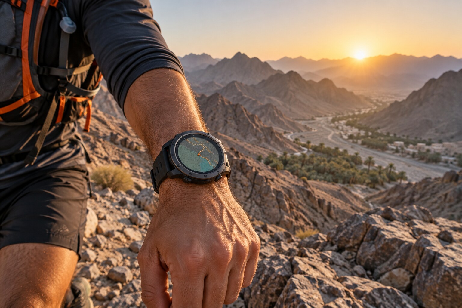
Oman offers varied terrain—from trails near Muscat to steep mountain routes, wadis and longer adventures in remote areas.
A suitable outdoor GPS watch can record your route, show elevation data and help you follow a planned course. The best choice depends on where you train, how long you remain outdoors and whether you need basic route guidance or detailed maps.
Start With Your Main Activity
Hiking and Weekend Exploration
- Clear route guidance
- Readable maps
- Back-to-start navigation
- Reliable battery endurance
- Elevation information
- Controls that work with sweaty hands
Trail Running
Trail runners may place greater importance on low weight, accurate pace and distance, elevation recording, route alerts and training information.
Long Mountain Adventures
Long-distance users should prioritise battery endurance, offline maps, physical durability and simple charging arrangements.
Maps and Navigation Are Not the Same Thing
Some GPS watches follow an imported route but display only a line with directional guidance. Others provide detailed maps showing surrounding streets, trails, terrain or points of interest.
Breadcrumb Navigation
Breadcrumb guidance can be sufficient when the route is prepared in advance, the trail is straightforward and minimum weight is a priority.
Detailed Offline Maps
Detailed maps become more useful when several trails intersect, you are exploring an unfamiliar area or mobile coverage is limited.
COROS states that the APEX 4 includes landscape and topographic maps, trail and street names, points of interest and turn-by-turn guidance. The COROS NOMAD provides global maps, back-to-start navigation and saved locations.
Battery Life: Compare the Correct Mode
A manufacturer may publish several battery figures for daily use, standard GPS, all-satellite tracking, dual-frequency GPS, navigation, music and battery-saving modes. Compare the mode you will actually use rather than the largest number on the specification sheet.
For longer routes in Oman, leave a sensible battery reserve instead of planning around the maximum claimed figure.
GPS Accuracy in Mountain Terrain
Rock faces, narrow valleys and steep terrain can make satellite positioning more difficult. Many modern outdoor watches support multiple satellite systems and some provide dual-frequency positioning.
- Use a battery-efficient mode on open terrain.
- Choose higher accuracy in mountains, valleys or built-up areas.
- Test the watch on a familiar route before a major outing.
Elevation and Barometric Data
For mountain activities, total ascent can be as important as distance. A barometric altimeter estimates elevation changes using atmospheric pressure, but readings may be affected by weather, calibration and environmental conditions.
- Obtain a strong satellite connection.
- Calibrate elevation if the model supports it.
- Select the correct activity profile.
- Keep pressure-sensor openings clean.
Display Visibility in Oman
Oman’s strong daylight makes outdoor readability important. MIP displays are designed to remain visible in bright conditions while using relatively little energy. AMOLED displays offer strong colours and contrast but may require different brightness settings to manage battery use.
Compare direct-sunlight visibility, screen size, map detail, night-time readability and the effect of brightness on battery life.
Controls and Physical Design
Touchscreens are convenient for exploring maps, while physical buttons can be easier during running, with gloves or on uneven terrain. Check button accessibility, screen protection, strap security, weight, case size, water rating and comfort during several hours of use.
Heat and Outdoor Care in Oman
- Avoid leaving the watch inside a parked vehicle.
- Follow operating and charging temperature limits.
- Rinse away sweat when permitted.
- Keep charging contacts clean and dry.
- Allow a hot watch to cool before charging.
- Download maps and routes before leaving reliable coverage.
Safety Features: Useful but Not a Guarantee
Depending on the model and phone connection, a watch may provide back-to-start guidance, off-course alerts, location sharing, safety notifications, weather information and saved points of interest.
For remote routes, also carry appropriate water, communication equipment and an independent navigation or emergency plan.
Which Type Should You Choose?
Choose a Lightweight Trail Watch If:
Running performance, comfort and low weight matter more than maximum battery capacity.
Choose a Mapping-Focused Watch If:
You explore unfamiliar trails and want street names, turn-by-turn guidance and points of interest.
Choose a Mountain-Performance Watch If:
Elevation accuracy, detailed maps, training analysis and extended GPS endurance are priorities.
Final Buying Checklist
- Map type and regional coverage
- Turn-by-turn or breadcrumb navigation
- Back-to-start functionality
- Battery life in the required GPS mode
- Dual-frequency positioning
- Barometric altimeter
- Outdoor display visibility
- Case size, weight and water rating
- App compatibility and local support
Frequently Asked Questions
Do I need offline maps for hiking in Oman?
Not for every route. Breadcrumb navigation may be enough for familiar trails. Offline maps become more valuable at complex junctions and in unfamiliar areas.
Does dual-frequency GPS always need to be enabled?
No. It can help in difficult terrain but may consume more battery.
Is AMOLED or MIP better for Oman?
Both can work well. Compare direct-sunlight visibility and battery performance.
Can a GPS watch replace a dedicated navigation device?
A watch is convenient but should not be the only navigation or safety tool on a remote route.
Where can I compare GPS watches in Muscat?
Browse sports and GPS watches at Atlas Tech Sport for customers in Muscat and across Oman.